Below is a list of various walks in the local area done by the West Grimstead Walking Group, click / tap on the image of the map to open up larger image in a new window. If you use mapping Apps on your phone, such as Outdooractive, you can download the .GPX file so you can follow the route on your phone by clicking / tapping on word Download next to the map.
The maps and GPX files are for illustrative purposes only, please check accuracy and access before embarking on a walk. Please also check that the pub is happy with you using their car park, the Village Walking Group always check first and stop for lunch after the walk.
| Description | Map | .GPX file |
| UPPER WOODFORD – 5 mile circular walk starting at The Bridge Inn. | 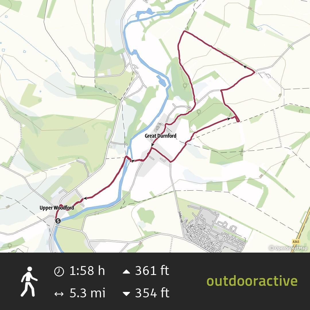 |
Download |
| VILLAGE CIRCULAR – The walk is approximately 3 miles and does get a bit soggy along the northen leg in winter! | 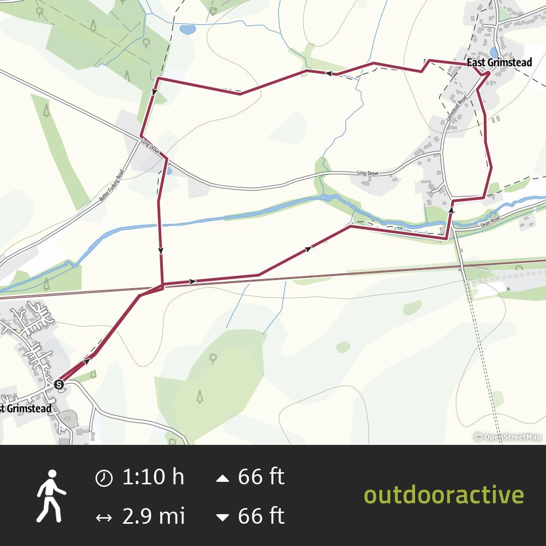 |
Download |
| BRAMSHAW – Easy 4.5 mile walk through the New Forest, one section follows the footpath through Bramshaw Golf Course so keep an eye out! | 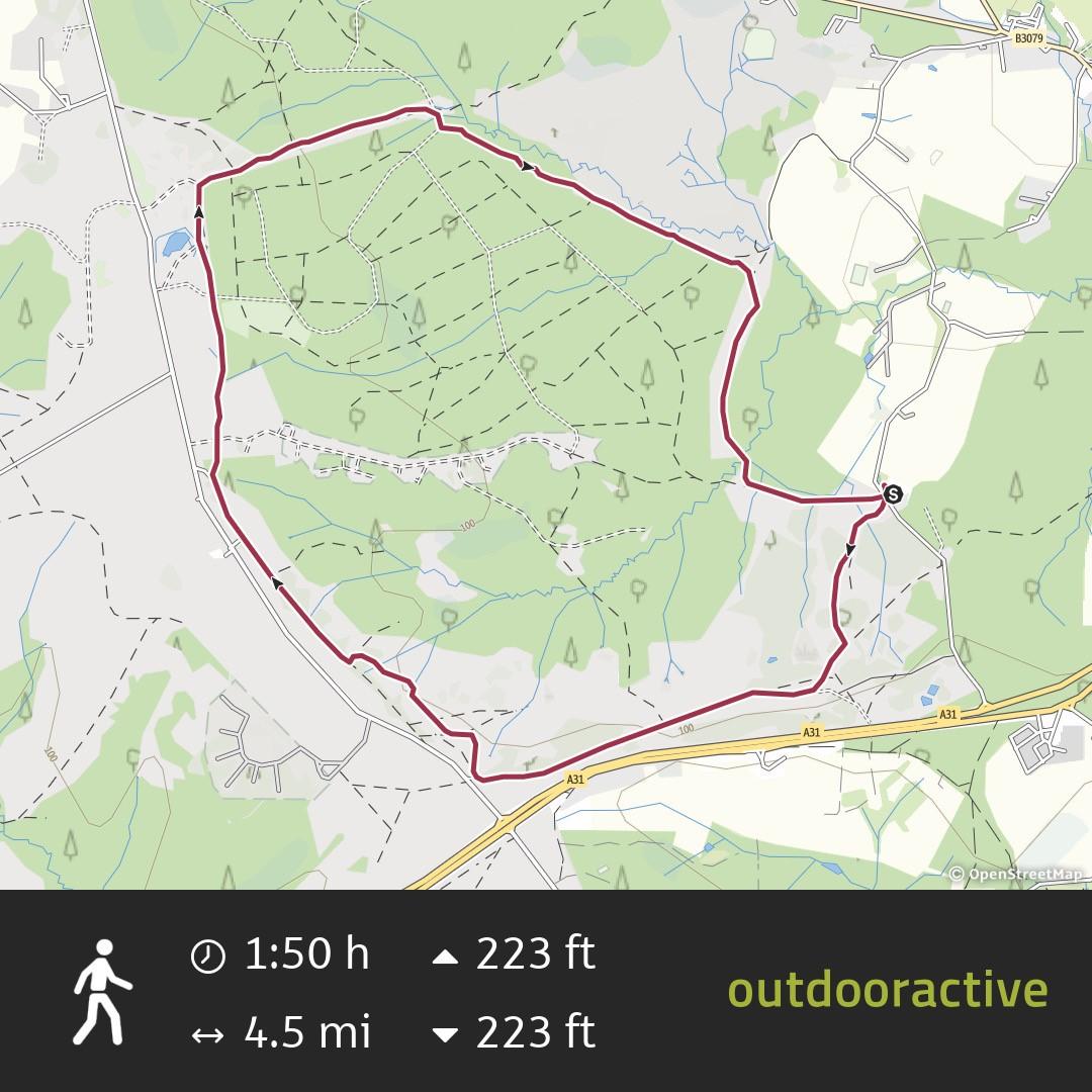 |
Download |
| WOODGREEN – Easy 3.5 mile walk through the New Forest starting at the Horse And Groom pub. | 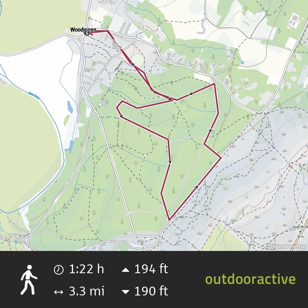 |
Download |
| LINWOOD – 5 mile walk through the New Forest starting at the High Corner Inn. | 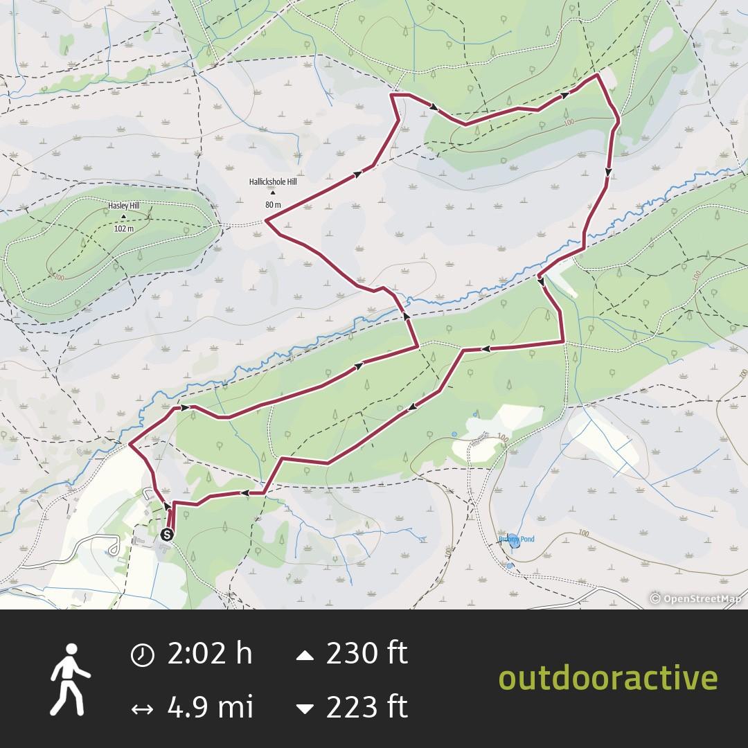 |
Download |
| OLD SARUM – Interesting 4 mile walk around Old Sarum and back along the river starting at The Old Castle pub. Beware, it can be slippery on the climb up to and down from Old Sarum when wet. | 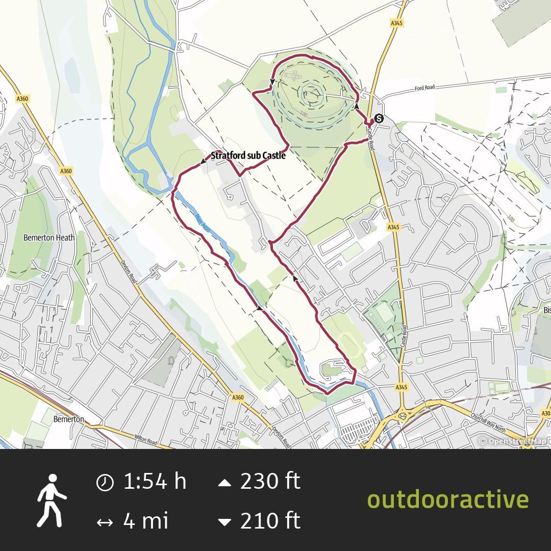 |
Download |
| LOWER WOODFORD – 4 mile walk circular walk starting at The Wheatsheaf pub. | 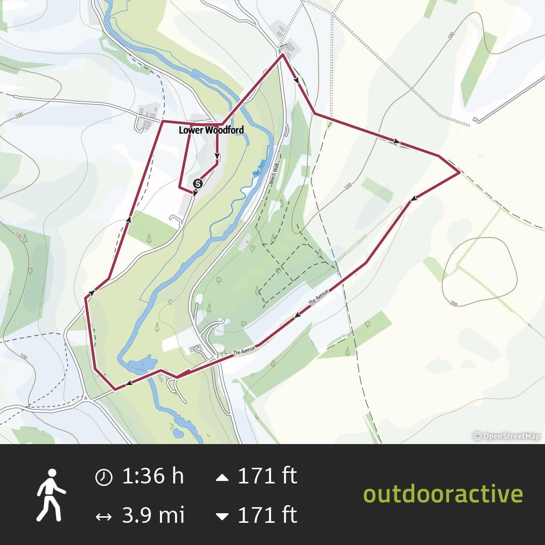 |
Download |
| MIDDLE WINTERSLOW – 5.5 mile walk circular walk starting at the recreation ground car park which is very close to The Lord Nelson pub. | 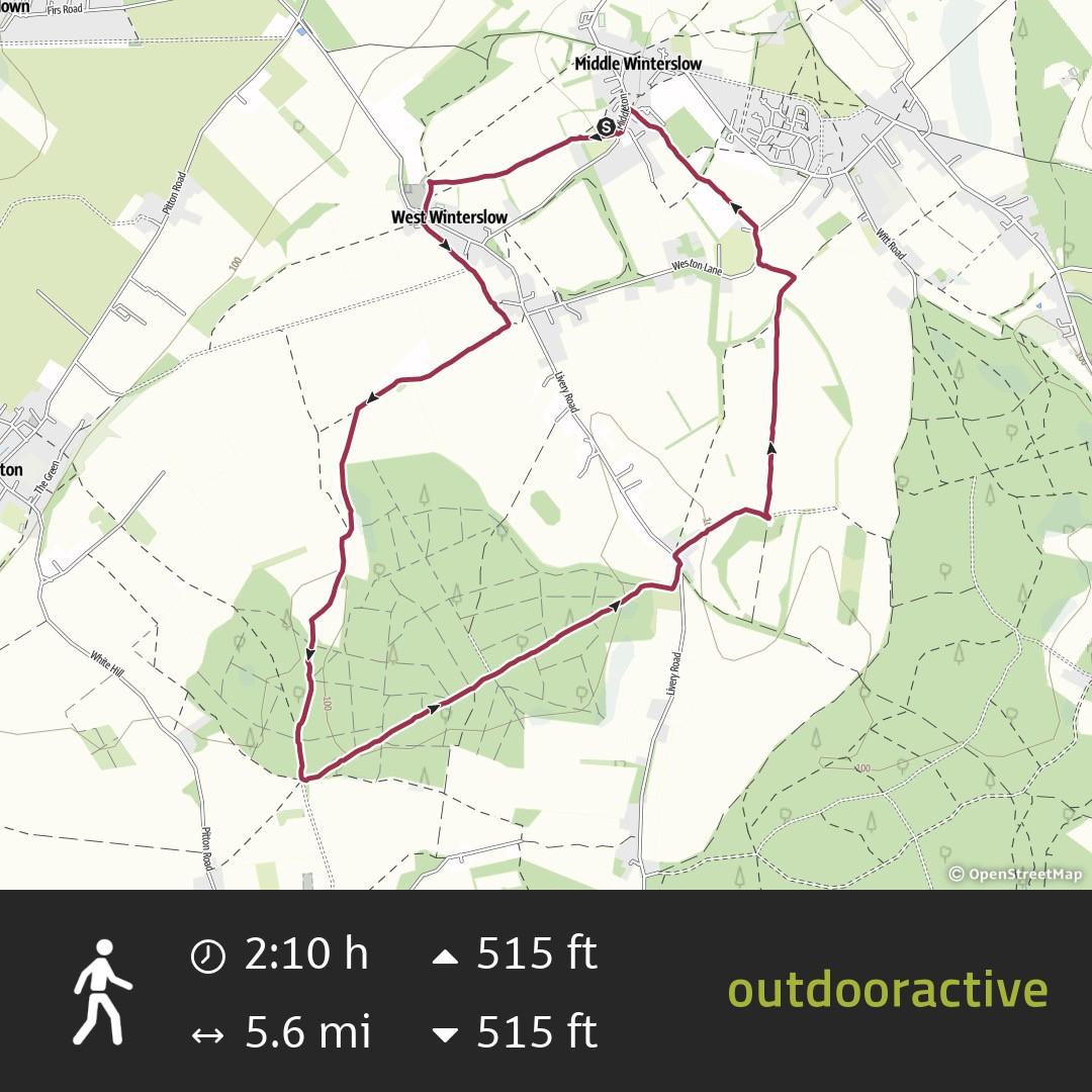 |
Download |
| SHERFIELD ENGLISH – 5 mile walk circular walk starting at The Hatchett Inn. | 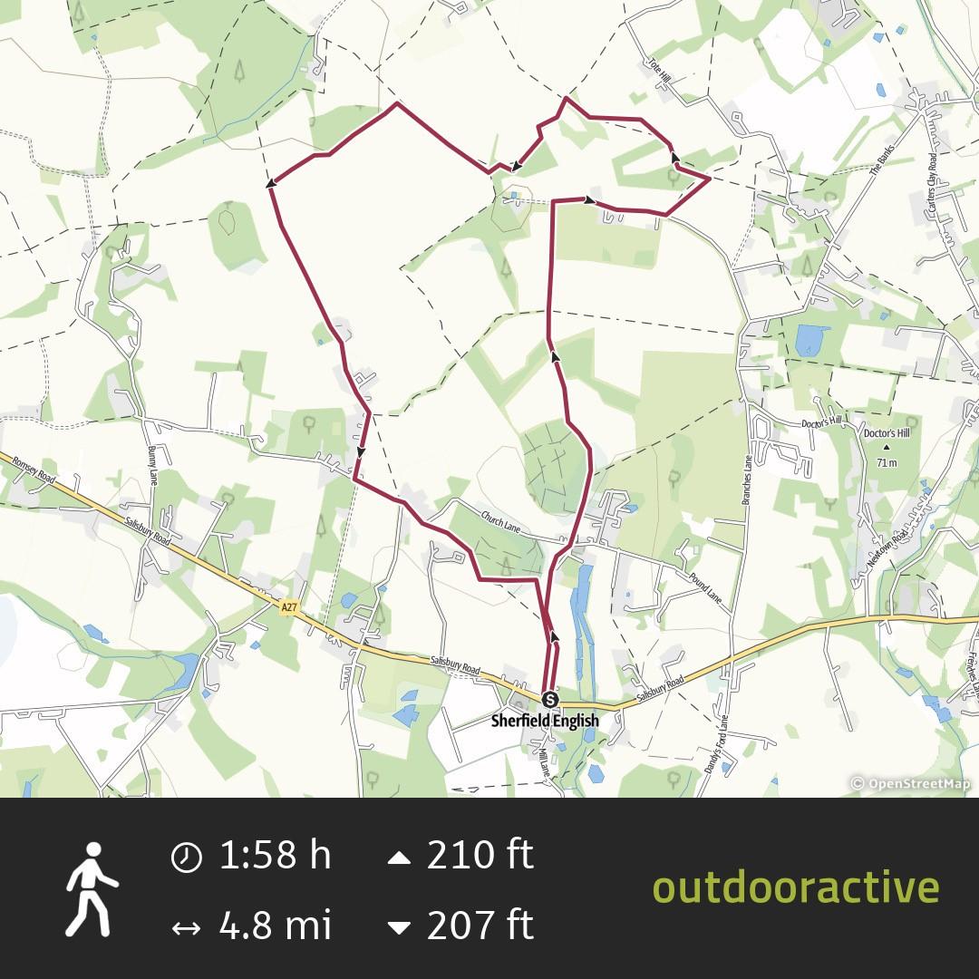 |
Download |
| ASHURST – 4.5 mile walk circular walk starting at The Forest Inn. | 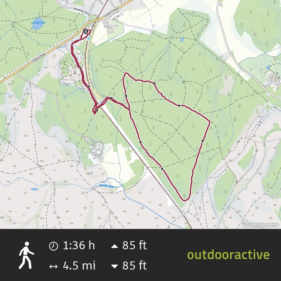 |
Download |